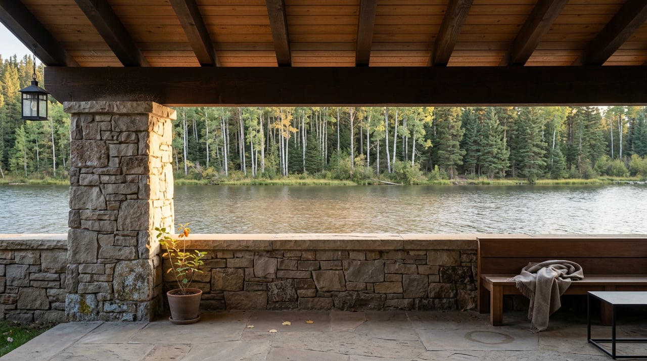
The One-Foot Rule: Why Grand Lake's Waterfront Doesn't Behave Like Its Neighbors'
August 13, 2026
August 13, 2026
A buyer touring waterfront listings this summer sees three properties that all use the same word: lake. One sits on Grand Lake proper, one backs up to Shadow Mountain Reservoir, and one is a mile up the shore of Lake Granby. The listing photos look interchangeable. The dock at the first property is floating in the same six feet of water it was floating in during the June showing. The dock at the third property is resting on cracked mud by the time the August walkthrough happens.
That gap isn't luck, and it isn't really about which lake is prettier. It's engineering. Grand Lake, Shadow Mountain Reservoir, and Lake Granby are three different machines built to do three different jobs inside the same federal water project, and the rules that govern each one determine what a dock, a boathouse, and a shoreline investment are actually worth over time.
All three water bodies sit inside the Colorado-Big Thompson Project, the system Northern Water operates to move Western Slope snowmelt under the Continental Divide to Front Range cities and farmland. But they don't hold water the same way.
Lake Granby is the workhorse. It's the largest storage reservoir in the C-BT system, built to bank a full season's snowmelt and release it on a schedule that has nothing to do with how a dock looks in a listing photo. From there, water is lifted by the Farr Pump Plant into the Granby Pump Canal and delivered to Shadow Mountain Reservoir, which acts less like a destination lake and more like a connector. Shadow Mountain's job, as Northern Water describes it, is to serve as a conduit between Lake Granby and Grand Lake, helping maintain a constant surface elevation in Grand Lake while water is being diverted through the Adams Tunnel.
Grand Lake sits at the end of that chain, the last stop before the water disappears under the mountains. And because it's the last stop, and because its western edge borders Rocky Mountain National Park, it gets treated differently than either reservoir upstream of it.
Here's the number that actually matters if you're comparing waterfront across Grand County, and it's one most listing descriptions never mention.
Northern Water's own project criteria minimize fluctuations in Grand Lake's water level to less than 1 vertical foot.
That's not a description of a calm year. That's an operating rule. Grand Lake covers 515 surface acres with 4.5 miles of shoreline and a maximum depth of 265 feet, and the C-BT Project is run in a way that keeps that shoreline essentially fixed, season after season. It's a big part of why the Grand Lake Yacht Club, sitting at 8,369 feet, holds the distinction of being the highest-elevation yacht club in the world, narrowly edging out its counterpart on Lake Granby.
Lake Granby doesn't get that treatment, because Lake Granby isn't meant to sit still. It's the storage tank. It holds 539,758 acre-feet of capacity across 7,260 surface acres and 40 miles of shoreline, and it's actively managed to swing between a full pool elevation of 8,280 feet and a minimum pool elevation of 8,186 feet, the top of its inactive conservation pool. That's a roughly 94-vertical-foot operating band built into the reservoir's design. No single year draws it down that far, and the actual swing depends on snowpack and downstream demand, but the point stands: Lake Granby is engineered to move a lot, and Grand Lake is engineered to move almost none.
Shadow Mountain Reservoir lands in between. It holds more surface area than Grand Lake, at roughly 1,346 acres and 8 miles of shoreline, but it's shallow enough and exposed enough that its facilities close for the winter due to ice and snow, and it absorbs more of the operational give-and-take that Grand Lake is shielded from.
| Water body | Role in the C-BT system | Surface acres | Shoreline | Typical water level behavior |
|---|---|---|---|---|
| Grand Lake | Natural lake, terminus before diversion | 515 | 4.5 miles | Held to less than 1 vertical foot of fluctuation by operating criteria |
| Shadow Mountain Reservoir | Regulating conduit between Granby and Grand Lake | ~1,346 | 8 miles | More seasonal movement; facilities close for winter |
| Lake Granby | Primary storage reservoir | 7,260 | 40 miles | Operates across a roughly 94-foot band between full pool and inactive pool |
The three lakes are close enough to paddle between on a calm day, and Colorado Parks and Wildlife treats them as a single unit called the Three Lakes for boat inspection purposes, requiring the same clean, drain, and dry protocol on all of them. But underwater, they're not one system with three names. They're one system built with three completely different jobs.
A dock, a boathouse, or a shoreline seawall is a long-term bet on where the water line will be in ten years, not just where it is on closing day. On Grand Lake, that bet is a relatively safe one, because the water level you see during a summer showing is close to the water level you'll see most other times of year, by design rather than by chance. A permitted dock built to reach a reasonable depth off a Grand Lake parcel is likely to keep reaching that depth.
On Lake Granby, that same bet carries real seasonal risk. A dock built for a full pool summer can end up stranded well above the waterline in a low-snowpack year, because the reservoir's entire purpose is to give up that water when the Front Range needs it. Buyers looking at Granby frontage should ask specifically about the parcel's historic water depth across dry years, not just the year of the listing photos, and should confirm boat ramp and dock access hasn't been affected by past drawdowns.
Shadow Mountain frontage sits somewhere in the middle, and it's worth double-checking exactly which water body a listing means when it says lake access. A property described loosely as having "Grand Lake access" that actually touches Shadow Mountain Reservoir is not the same asset, even if a small boat can travel between the two through the connecting channel near Trail Ridge Marina.
Before making an offer on any Grand County waterfront parcel, a few questions are worth asking directly rather than assuming:
We've walked through the fuller mechanics of pricing and permit verification for wet-side property in our companion guide on Grand Lake lakefront valuation, which covers how dock rights, easements, and shoreline condition factor into a defensible number.
Is Shadow Mountain Reservoir the same thing as Grand Lake? No. They're connected by a narrow channel and can be boated between as one continuous trip, but Shadow Mountain is a regulating reservoir within the Colorado-Big Thompson Project, while Grand Lake is a natural glacial lake managed to stay close to a fixed elevation.
Does Lake Granby's water level really drop by nearly 100 feet every year? No. The roughly 94-foot figure is the theoretical operating band between Lake Granby's full pool elevation and the top of its inactive conservation pool, not an annual guarantee. Actual year-to-year swings depend on snowpack and downstream water demand, but the reservoir is designed to allow far more movement than Grand Lake's own operating criteria permit.
If I buy a home on Grand Lake with an existing dock, does the permit come with the property automatically? Not automatically. Dock and boathouse permits typically need to be verified and formally transferred, and confirming that paperwork before closing is one of the details worth building into any offer on wet-side property.
Waterfront in Grand County isn't one market. It's three, running side by side under the same mountains, and the difference between them is written into how the C-BT Project is operated, not into how a listing photo looks in July. If you're comparing dock-ready property across Grand Lake, Shadow Mountain Reservoir, or Lake Granby, Laura Zietz can walk the shoreline history with you before you write an offer. Request a private consultation or valuation to start the conversation.
This article is general information, not legal, tax or financial advice. Consult a qualified professional about your situation.
Whether you’re looking to buy or sell – let Laura show you the way.

LAURA ZIETZ
78977 US Highway 40 Winter Park CO 80482